

Four separate airborne instruments, used on three different aircraft, comprise the core SnowEx 2023 instruments. Snow-free and snow-on acquisitions are planned with lidar, stereophotogrammetry, radar and radiometry observations for the five sites. These instruments will fly over Bonanza Creek, Creamer's Field and Caribou-Poker Creek sites near Fairbanks, as well as two separate sites near Toolik and Prudhoe Bay. Hyperspectral observations are planned during the snow melt period in April 2023 over multiple sites in the Fairbanks area: Creamer's Field, Caribou-Poker Creek and Delta Junction.
SWESARR
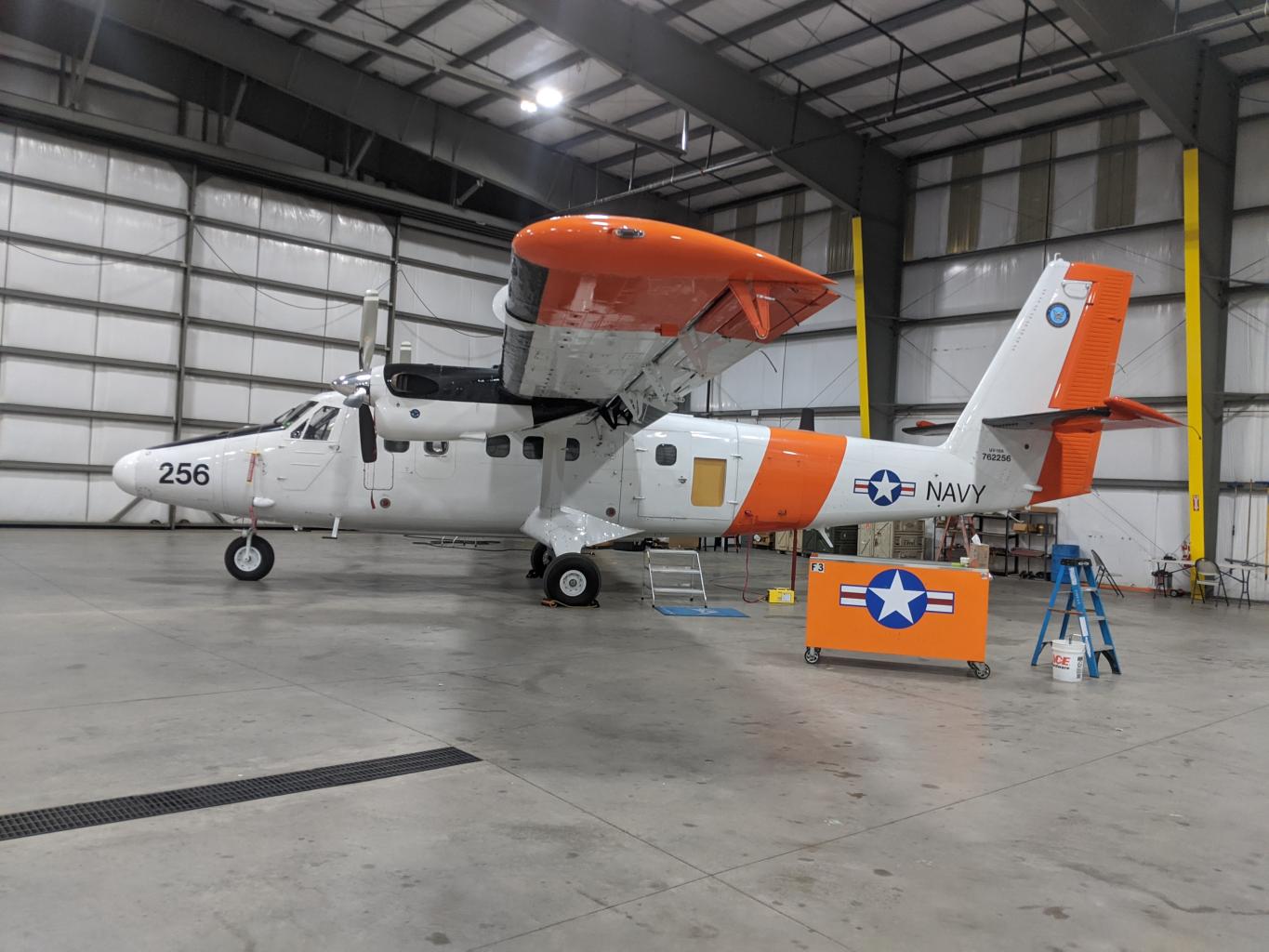
The airborne SWE Synthetic Aperture Radar and Radiometer (SWESARR) instrument was developed at NASA Goddard Space Flight Center. SWESARR has three active (including a dual Ku band) and three passive bands. Radar data is collected in dual polarization (VV, VH) while the radiometer makes single polarization (H) observations. The combination of all these microwave measurements will provide an important data set to develop and to enhance SWE retrieval algorithms.
Radar and radiometer observations are sensitive to snow properties (e.g., microstructure, wetness) and vegetation and soil characteristics (e.g., state, moisture, roughness). To account for vegetation and soil contributions in the SWE algorithms, it is important to collect snow-off observations. Snow-off flights are scheduled for late October 2022. Ground measurements like soil samples will be collected along with corner reflectors. Snow-on data collection will occur during March 2023. SWESARR will be flown on a twin otter aircraft. At a flight altitude of 2 km, the SAR swath width ranges from 250 m to 450 m, as frequency decreases.
TABLE: SWESARR microwave bands collected.
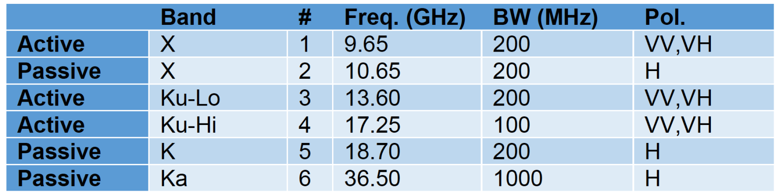
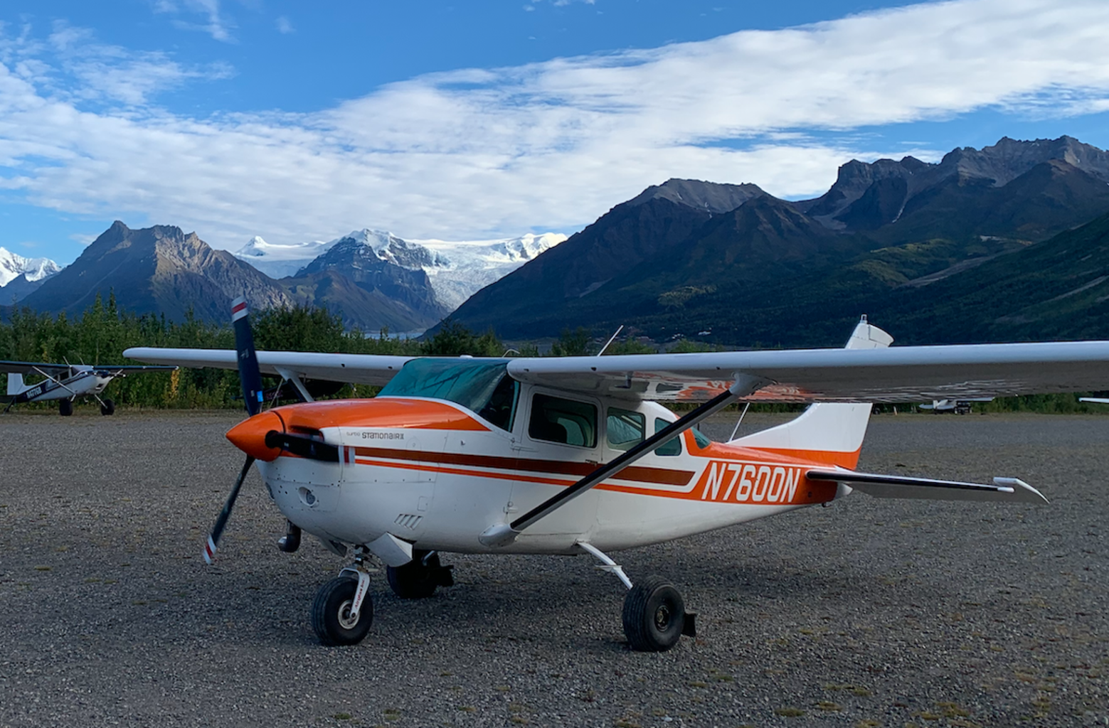 Photo: Chris Larsen
Airborne LiDAR and Optical stereo imagery
The Lidar and Stereophotogrammetry instruments are combined on rigid mount, deployed simultaneously in a Cessna T206 aircraft equipped with a 50 cm diameter optical belly port. The lidar system is based on a Riegl VQ-580ii scanner coupled with an Applanix POS AP60-AV Inertial Navigation unit. The lidar scanner uses a 1064 nm wavelength laser and has adjustable pulse repetition frequency up to 2000 kHz, typically set to 1200 kHz. The scanner has a rotating mirror that sweeps the beam across 75 degrees (+/- 37.5 degrees off nadir) resulting in shot lines perpendicular to the flight path. When flown at 200 km/hr (110 knots) and 700 m (2300 ft) AGL the swath of points is 1070 m wide with roughly 10 points per square meter. Flight lines are planned with > 50% sidelap to target 20 points per square meter for each survey coverage.
The photogrammetry system uses a Nikon D850 with a Zeiss Distagon 25mm f/2.0 lens coupled to a Trimble R7 GNSS receiver. Event markers are triggered in the R7 for each shutter instance allowing for sub-10 cm post processed camera positions taken from the aircraft trajectory. Note that this trajectory is recorded and processed independently from the lidar system’s trajectory solution. Photos are taken every 2.5 seconds along the flight path, resulting in over 10 images covering each point within the survey area.
AVIRIS-NG
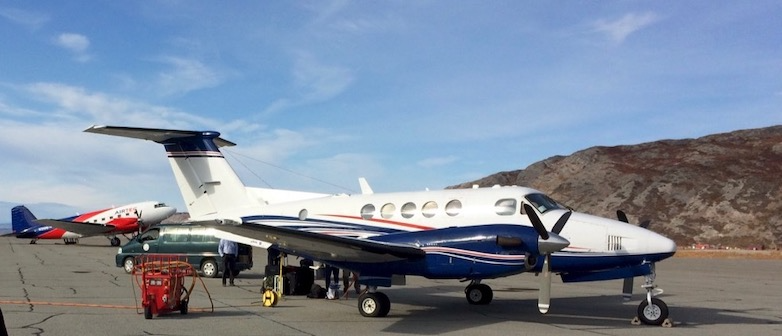
The Airborne Visible InfraRed Imaging Spectrometer - Next Generation (AVIRIS-NG) has been developed to provide continued access to high signal-to-noise ratio imaging spectroscopy measurements in the solar reflected spectral range. AVIRIS-NG is expected to replace the AVIRIS-Classic instrument that has been flying since 1986. AVIRIS-NG measures the wavelength range from 380 nm to 2510 nm with 5 nm sampling. Spectra are measured as images with 600 cross-track elements and spatial sampling from 0.3 m to 4.0 m from a Twin Otter platform. In the future, a high altitude platform is expected to be available. AVIRIS-NG has better than 95% cross-track spectral uniformity and >= 95% spectral IFOV uniformity. Currently AVIRIS-NG flies on a King Air B200 operated by Dynamic Aviation Group Inc from Bridgewater, Virginia. The Kind Air B200 flies at a maximum altitude of 35 kft (10.6 km). NASA’s high altitude sensor platform, the ER-2 operated by NASA's Armstrong Flight Research Center, and another mid altitude aircraft, the DHC-6 operated by Twin Otter International Ltd (TOIL), are also available platforms. The main objective of the AVIRIS-NG is to support NASA science and applications by measuring spectra as images that record the interaction of light with matter. These spectra are used to identify, measure, and monitor constituents of the Earth's surface and atmosphere. For snow and ice hydrology, albedo, snow cover fraction, grain size, dust, impurities, and melting can be detected.